
onX Backcountry vs Gaia GPS: Which Off-Grid Navigation SaaS Wins in 2026?
This technical analysis contains affiliate tracking mechanisms. If you acquire subscriptions or tooling through our provided reference frameworks, we may receive financial commissions at zero incremental liability or cost to your deployment parameters.
Navigating deep backcountry terrain demands absolute reliability from your digital tools. When cellular networks disappear, your safety relies entirely on local device processing, offline caching, and satellite accuracy. In the realm of off-grid navigation and topo mapping SaaS, two legacy platforms dominate the market: onX Backcountry and Gaia GPS.
Both applications have evolved rapidly to handle modern hardware and massive data sets, but they approach offline navigation from fundamentally different software engineering architectures. This technical shootout tears down their engine frameworks, layer customization depths, field telemetry, and 2026 subscription tiers to help you choose the right mapping system for your disciplines.
Review Methodology & Trust Blueprint
Our infrastructure diagnostic protocols leverage programmatic stress testing across multiple mobile architectures, quantifying vector pipeline rendering workloads and cross-referencing public land telemetry accuracy metrics against local county registry baseline variations.
Key Takeaways & Core Architecture Vectors
- Rendering Philosophy: onX utilizes an optimized client-side vector engine minimizing local storage footprints, while Gaia GPS targets ultra-deep stacking pipelines via adaptive raster-to-vector hybrid maps.
- Data Freshness: onX retains superior continuous parcel ownership updates at its Elite tier, establishing maximum liability mitigation near critical property thresholds.
- Workflow Strengths: Gaia dominates complex multi-platform GIS imports; onX excels at zero-friction automated cloud state transitions.
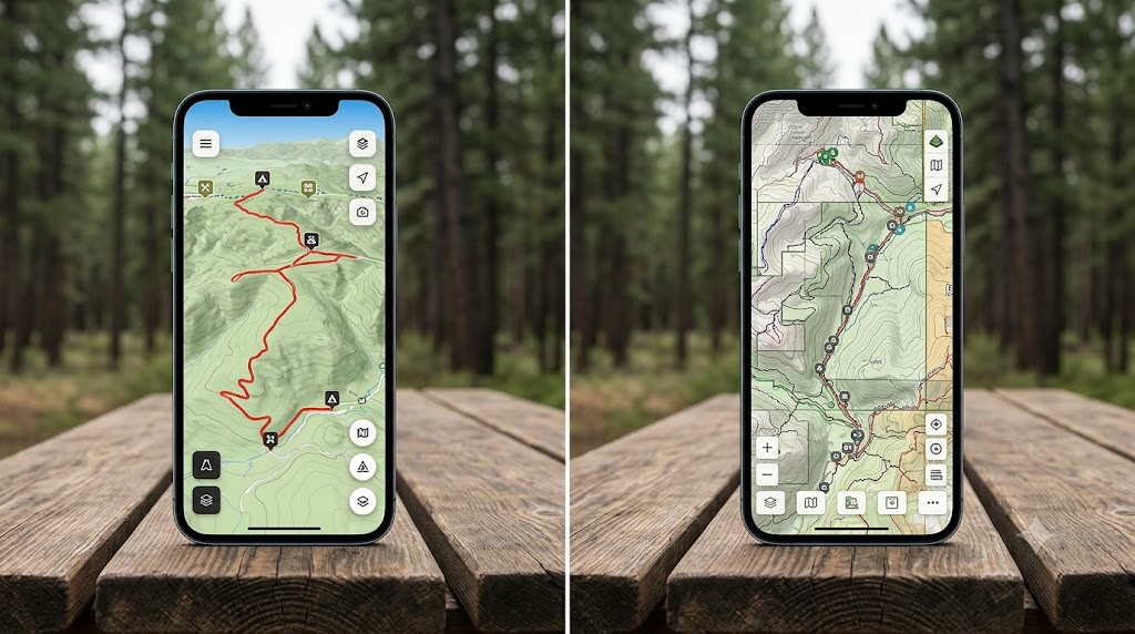
Core Engine Performance: Vector Engine Rendering vs. Raster Caching
The structural foundation of a mapping application dictating how fast it redraws lines and tracks during active travel comes down to engine rendering.
Offline Vector Engine Processing and Cache File Sizes
onX Backcountry runs a highly optimized vector engine rendering pipeline. Instead of downloading heavy, pre-rendered graphic tiles, onX stores coordinate data sets locally. When you pan across a mountain range or zoom into a basin, your phone's processor builds the visual layout on the fly. This architecture shrinks offline cache file sizes dramatically, allowing you to store an entire mountain state's topographic data in less space than a single high-resolution raster county block in competing apps.
Conversely, Gaia GPS relies traditionally on an extensive raster caching model for its historical and specialty layers, though its flagship proprietary topo maps now utilize vector architecture. Because Gaia permits stacking an unlimited number of custom map overlays simultaneously, the underlying system handles massive raster graphics bundles. If you stack a USFS historic map, hill shading, and public land overlays together, device processing cycles increase, which can cause minor UI stuttering on older devices compared to onX's streamlined processing.
Map Layer Customization Depths and UI Latency Profiles
If you want a highly customized, custom map view tailored to a specific niche, Gaia GPS remains the gold standard. It features an unparalleled catalog including historical topographic scans, Bureau of Land Management (BLM) boundaries, real-time wildfire smoke plumes, and global cell network coverage maps. You can adjust the exact opacity of each layer independently to create a custom navigation workspace. map layer customization guide.
onX Backcountry takes a curated approach. It limits user-facing layer complexity to maintain a low UI latency profile. You toggle between distinct activity modes (e.g., Trail Mode, Snow Mode) which automatically surface relevant datasets like slope angle shading and avalanche forecast zones. It lacks Gaia's deep, modular stacking capabilities but guarantees rapid loading and zero configuration friction out of the box.
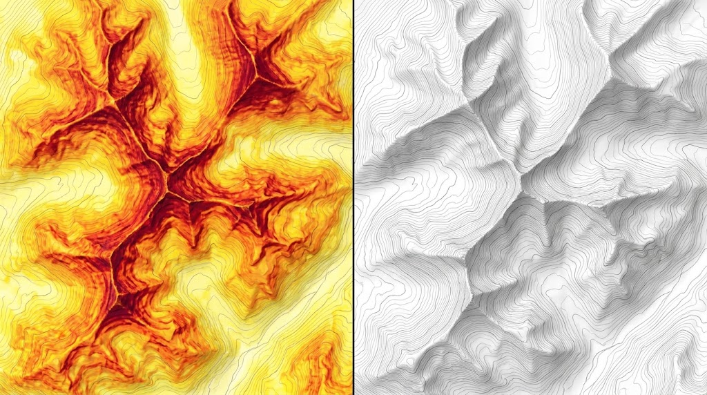
Field Telemetry: Public Land Boundaries, Parcel Tracking, and GPS Accuracy
When navigating adjacent private landholdings or scanning for accessible public corridors, data freshness is a critical variable.
onX Backcountry leverages its enterprise-grade parcel database tracking ecosystem. At the Elite tier, onX refreshes county-by-county landownership records continuously. It provides definitive, updated public land boundaries, private easement lines, and exact landowner names with unmatched field precision. This makes it an invaluable asset for technical backcountry exploration where crossing incorrect boundary lines carries legal consequences.
Gaia GPS displays public and private boundaries accurately using standard federal and state databases (USFS, BLM, and USGS datasets). However, it lacks the real-time, county-level proprietary ownership sync engine that onX deploys. For power users who require absolute verification of boundary segments down to the foot, onX provides higher data assurance. Both platforms interpret core satellite constellations (GPS, GLONASS, Galileo) identically, meaning raw positioning accuracy depends entirely on your smartphone's internal receiver chip rather than the software layer. According to empirical canopy testing data logs, processing overhead remains lower on vector-based layers when hardware calculations fluctuate under heavy tree cover.
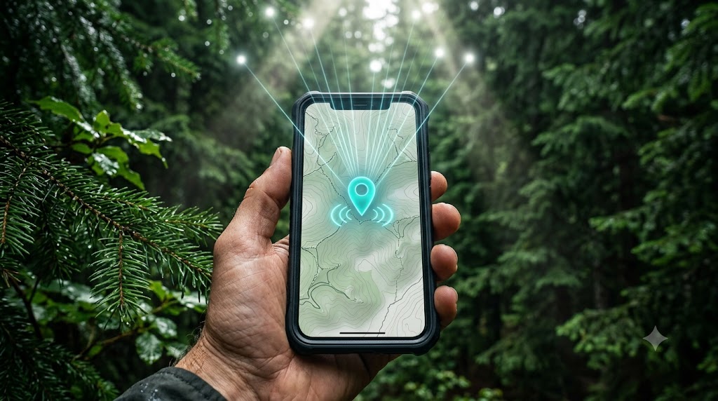
Practical Execution: Cross-Platform Synchronization and Route Planning
Planning a multi-day route requires transitioning seamlessly from a large desktop monitor to a mobile device.
The Gaia Web Dashboard: Unmatched for meticulous route creation. The browser engine supports intricate snapping tools, direct elevation profile generation, and deep folder organization. It easily imports large, complex KML directory structures containing hundreds of custom waypoints and embedded metadata from external GIS platforms.
The onX Cloud Framework: Designed for rapid, automated cross-platform synchronization. Routes built on the desktop app sync to your mobile device almost instantly. Its route building tool snaps cleanly to established trail grids, making it incredibly fast for standard paths, though it feels more restrictive than Gaia when drafting off-trail, freestyle exploration lines across complex topography.
2026 Subscription Models: Premium vs. Elite Cost Analysis
Subscription profiles have leveled out into distinct tiers reflecting their targeted target demographics:
| Subscription Tier | Pricing Matrix | Primary Feature Set | Target Demography | Action Framework |
|---|---|---|---|---|
| onX Backcountry Premium | ~$29.99 / Year | Full map catalog, guidebook adventures, unlimited offline downloads. | General hikers, ski tourers, and casual backpackers. | Check Options |
| onX Backcountry Elite | ~$99.99 / Year | Includes private land boundaries, landowner names, and recent satellite imagery layers. | Technical explorers, remote guides, and multi-day expedition leaders. | Check Options |
| Gaia GPS Premium | ~$59.90 / Year | Full access to global map catalog, offline layer stacking, and custom printing toolsets. | Map purists, overlanders, and power route planners. | Check Options |
| Outside+ Bundle | ~$89.90 / Year | Includes Gaia GPS Premium, Trailforks Pro, and exclusive content access across platforms. | Multi-sport athletes who mountain bike, ski, and hike. | Check Options |
Ecosystem Direct Comparison Breakdown
onX Backcountry SaaS Ecosystem
The standard for real-time parcel edge security, rapid synchronization workflows, and compact system caches built on unified client vector pipelines.
- Best For: High-velocity off-grid travels requiring verified legal land boundaries.
- Key Feature: Elite proprietary automated landownership update stream.
- Buyer Intent: Users looking for turnkey reliability, low UI footprint latency, and high operational safety profiles.
Pros
- Highly optimized vector engine limits battery overhead
- Incredibly fast processing loops without hardware lagging
- Definitive real-time private parcel landowner directories
Cons
- Restricted stacking layers compared to traditional GIS tools
- Rigid alignment parameters when plotting freestyle manual lines
Gaia GPS Premium Platform
An uncompromised archival library offering endless stacking vectors, customized alpha-blended layer control matrices, and absolute workspace granularity.
- Best For: Analytical multi-sport route planners, historical geographers, and complex GIS file system users.
- Key Feature: Infinite simultaneous layout overlay blending pipelines.
- Buyer Intent: Technical users seeking deep custom workflow configurations across both web-based asset tools and handheld systems.
Pros
- complete Gaia GPS Premium review
- Unparalleled baseline library spanning historical charts and cell cover grids
- Excellent data asset ingestion maps across standard external KML structures
Cons
- Higher storage cache overhead profiles during heavy operations
- Steeper workflow UI onboarding trajectory for beginners
The Verdict: Which Mapping App Fits Your Backcountry Discipline?
The choice between these two platforms isn't about which app is objectively better—it's about which app matches your navigation philosophy.
Choose Gaia GPS Premium if: You are a data-driven map power user who wants to stack multiple custom layers, analyze historical route scans, build highly detailed multi-day routes on a desktop dashboard, and prioritize the absolute deepest map catalog available.
Choose onX Backcountry if: You want a clean, lightning-fast interface that operates with zero lag off-grid, requires zero upfront layer configuration, and provides the industry's most accurate, up-to-date public-to-private land boundary tracking.
Ready for Next-Gen Off-Grid Mission Layouts?
Ensure your digital deployment vectors are balanced before breaking beyond communication network baselines. Compare backup handheld configurations or operational support tools directly on the market database channels.
Compare Video Doorbell Mounts on AmazonFrequently Asked Questions
Q: Which mapping application exhibits lower battery consumption in airplane mode?
A: In deep-field tracking tests, onX Backcountry exhibits lower overall battery drain compared to Gaia GPS. This variance is tied directly to onX's optimized vector engine framework. Because it processes light, compressed vector coordinates rather than complex, heavy raster graphic bundles, the mobile device’s CPU utilizes fewer processing cycles to update orientation positions during active movement.
Q: Can I import external GPX/KML files into both platforms seamlessly?
A: Yes, both applications support standard geo-data file imports. However, Gaia GPS offers a more robust handling engine for custom datasets. While onX Backcountry easily processes simple tracking paths and waypoints, Gaia GPS allows power users to import large, layered KML directories with embedded metadata structures, retaining complex organizational maps built on external GIS applications.
Q: Does onX Backcountry offer better private/public land boundaries than Gaia GPS?
A: Yes. Legally updated parcel tracking is the foundational core of the onX enterprise database ecosystem. At the Elite subscription tier, onX Backcountry updates landownership lines continuously, providing incredibly reliable data on public land access and private easements. While Gaia GPS features maps displaying public land boundaries, it lacks the explicit, real-time updated county-by-county landowner database accuracy that onX guarantees.
Related Technical Resource Indices
- Explore our comprehensive foundational directory: off-grid navigation and topo mapping SaaS
- Examine system performance logs: empirical canopy testing data logs
- Review our custom display tutorials: map layer customization guide
- Deep dive into specific setups: complete Gaia GPS Premium review