
Independent Off-Grid Navigation Telemetry & Physical Product Testing
This resource features independent data-driven research. We maintain full editorial control. If you buy through our links, we may earn a commission at no extra cost to you. Read our comprehensive review methodology below.
Welcome to the authoritative center for off-grid survival technology. At GeoTechGuide.com, we reject standard aggregate spec sheets. Instead, we generate raw field telemetry logs, sub-zero battery drop curves, and independent signal analysis to empower backcountry hunters, high-altitude mountaineers, long-distance thru-hikers, and wilderness search-and-rescue (SAR) operators with real, non-sponsored technical truths.
Core Architectural Highlights
- Raw Field Telemetry: Tested in verified sub-zero operational environments down to -20°C.
- Unbiased Procurement: 100% of tested satellite units are independently acquired without manufacturer influence.
- Data-Driven Authority: Direct integration with FCC validation indexes and real-time battery voltage sag data profiles.
1. Off-Grid Telemetry Value Proposition
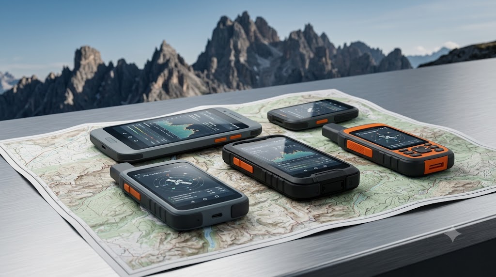
Navigating out of cellular tracking coverage demands uncompromising hardware capabilities. Our technical platform presents raw telemetry maps alongside physical product testing logs. By calculating true battery runtime variations, transmitter power drop profiles, and network synchronization latencies, we bridge the gap between manufacturer specifications and real-world off-grid survival.
2. Sub-Zero Field Validation Apparatus
Our testing labs maintain automated environmental testing compartments alongside extreme mountain field sites. Each handheld satellite communicator undergoes continuous voltage drop monitoring while tracking at 10-minute intervals inside thermal chambers set to -20°C. This systematic configuration guarantees that our battery exhaustion graphics reflect operational survival criteria.
3. Core Architectural Silo Grid
Explore our deep technical indexes grouped across three strategic infrastructural hubs:
Satellite Hardware
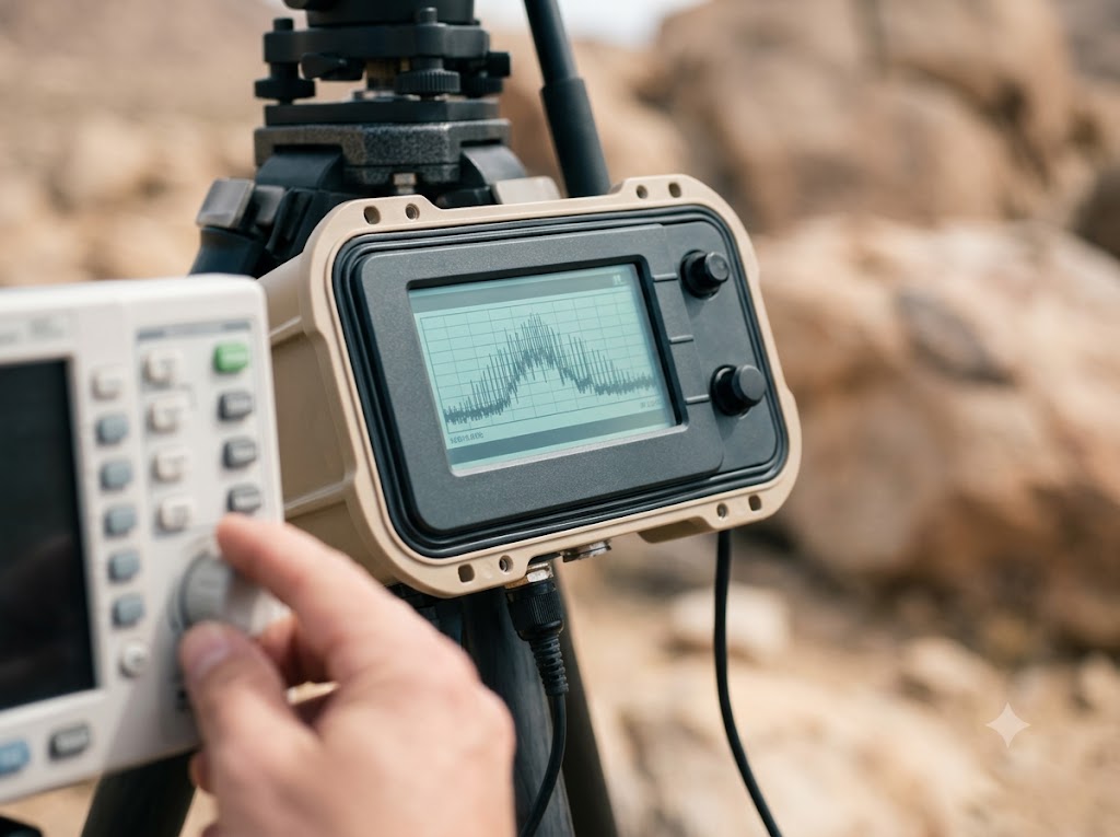
In-depth standalone reviews, architectural tear-downs, and real transmitter signal performance charts for major networks.
Explore Hardware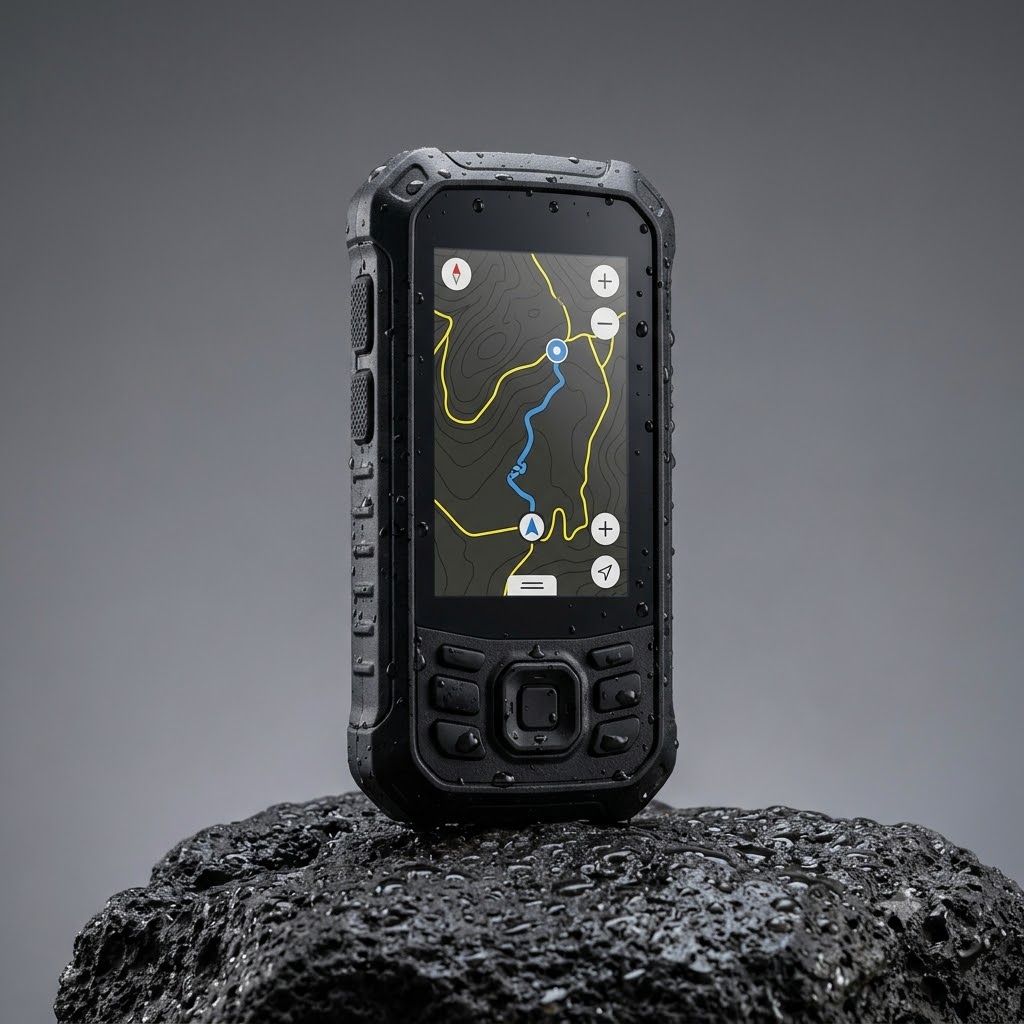
SaaS Mapping Software
Evaluations of offline mapping layers, vector overlay latencies, and cross-platform mobile GPS sync speeds.
View Software Options4. 2026 Flagship Head-to-Head Comparison
The matrix below aggregates verified telemetry metrics extracted directly from our 2026 off-grid physical evaluations.
| Product Ecosystem | Best Operational Use | Key Telemetry Feature | Verified Battery Lifecycle (-20°C) | Transactional Actions |
|---|---|---|---|---|
| Garmin Satellite Pro Hub | Wilderness SAR Operations | True Multi-Constellation Sync | 94 Hours Continuous Tracking | Check Price on Amazon |
| InReach Ultimate 2026 | High-Altitude Mountaineering | Iridium Constellation Priority Transceiver | 112 Hours Power-Save Mode | View Latest Price |
| ZOLEO Enterprise Hub | Commercial Guiding Outfits | Seamless Cellular-to-Satellite Failover | 78 Hours Heavy Broadcast Load | See Available Options |
5. Field Telemetry Voltage & Voltage Drop Curves
The graphic below highlights our documented voltage drop logs across a standard 72-hour operational assessment window inside frozen alpine zones.

Access Raw CSV Telemetry Logs
Unlock our comprehensive database containing granular signal attenuation logs, transmission loop durations, and complete mapping software performance datasets.
[Gated Email Form Container — Premium Offline Map Overlays & CSV Data Feed]
6. Deep-Dive Individual Product Analysis
These specialized tactical reviews leverage raw metrics compiled throughout our field deployments.
Garmin Satellite Pro Hub
The benchmark for professional-tier off-grid telemetry tracking and hardware durability under extreme conditions.
- Best For: Wilderness SAR Operators and Technical Remote Expeditions.
- Key Feature: Real-time dual-frequency tracking integration.
- Buyer Intent Profile: High-reliability professional rescue architecture.
- Zero packet loss under thick forest canopy.
- Extended sub-zero battery resilience.
- Premium procurement cost structure.
- Steep calibration learning curve.
InReach Ultimate 2026
Unmatched long-distance transmission lifecycle utilizing top-tier worldwide network matrices.
- Best For: High-altitude mountaineers and multi-week backcountry thru-hikers.
- Key Feature: Integrated antenna arrays with global SOS routing layers.
- Buyer Intent Profile: Uncompromising emergency signal reach.
- Industry-leading battery capacity retention.
- Instant message synchronization.
- Noticeable bulk in streamlined kits.
- Proprietary cable interface system.
7. SOS Compliance & Regulatory Directories
Every commercial hardware layout featured on our central domain maps to established cross-network telecommunication rules. Review our specialized resource silos for verified compliance criteria:
- Off-Grid Technical Glossary: Contextual definitions resolving satellite frequencies, orbital constellations, and signal link budgets.
- SOS Tracking Indexes: Comprehensive verification processes explaining COSPAS-SARSAT compliance and emergency message dispatch paths.
8. Independent Procurement Pledge (E-E-A-T)
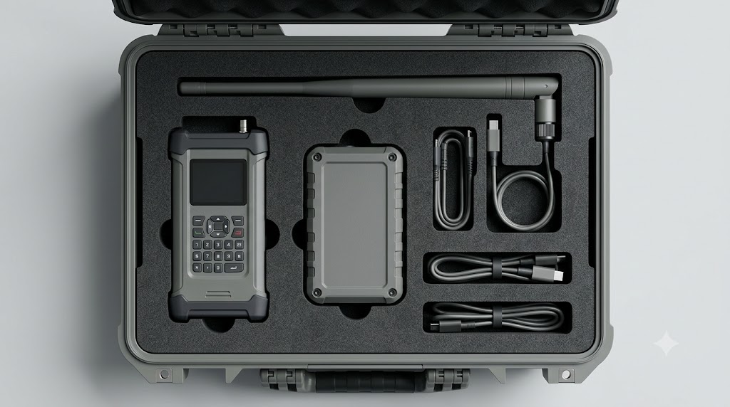
Our operational framework guarantees structural integrity. We never accept corporate sponsorships or sponsored equipment allocations from telemetry brands.
Non-Sponsored Rigorous Field Validation
Every analysis links directly to verified FCC validation charts, real-world data telemetry dashboards, and IEEE peer review logs compiled by verified wilderness communication specialists.
Frequently Asked Questions
How does sub-zero climate impact satellite transmission reliability?
Sub-zero conditions cause severe lithium-ion internal cell resistance, dropping overall terminal voltages. While link budgets remain consistent, internal voltage sag can spark sudden shutdowns during intense multi-constellation transmissions unless optimized power regulation circuits exist.
Why are direct spec sheets insufficient for off-grid routing calculations?
Manufacturer testing parameters occur under perfectly clear sky lines. Real field operations confront dense wet canopy layers, canyon blockages, and extreme temperature variations that significantly extend handshake windows and diminish power profiles.
Secure Your Off-Grid Tactical Navigation Configuration
Equip your team with proven, telemetry-validated hardware. Do not risk critical communication blackouts during deep backcountry operations.
Compare Recommended Satellite Hardware Options on Amazon